

Although we are about one month into winter, we have yet to experience much snowfall, but that is about to change. Even if one avoids reading the warnings, the lake has set up a notification system all of it own.
Here is a visual progression of the last few days:
Saturday, January 23, 4:25:08 PM, patches of ice forming along the break wall
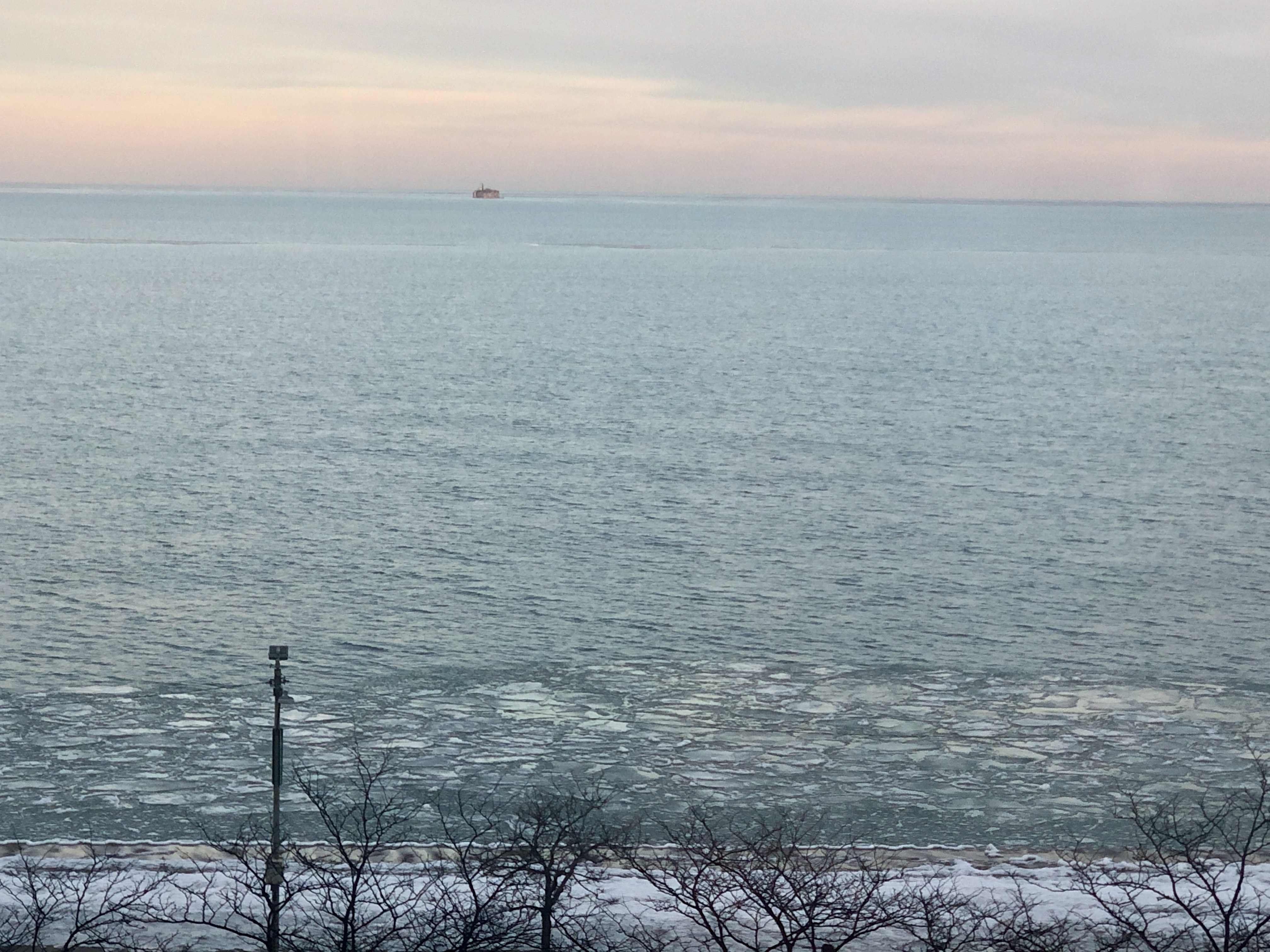
Sunday, January 24, 7:45:07 AM, patches merging as they shift northward toward North Ave beach curve

©blogginginitaly.com
Sunday, January 24, 7:45:41 am Weather Warning

©The Weather Channel
Sunday, January 24, 9:12:39 AM, ice nearly gone, and some enjoying a “birds-eye” view!

©blogginginitaly.com
Saturday, January 24, 1:58:12 PM, fascinating ice shapes emerging along the shoreline
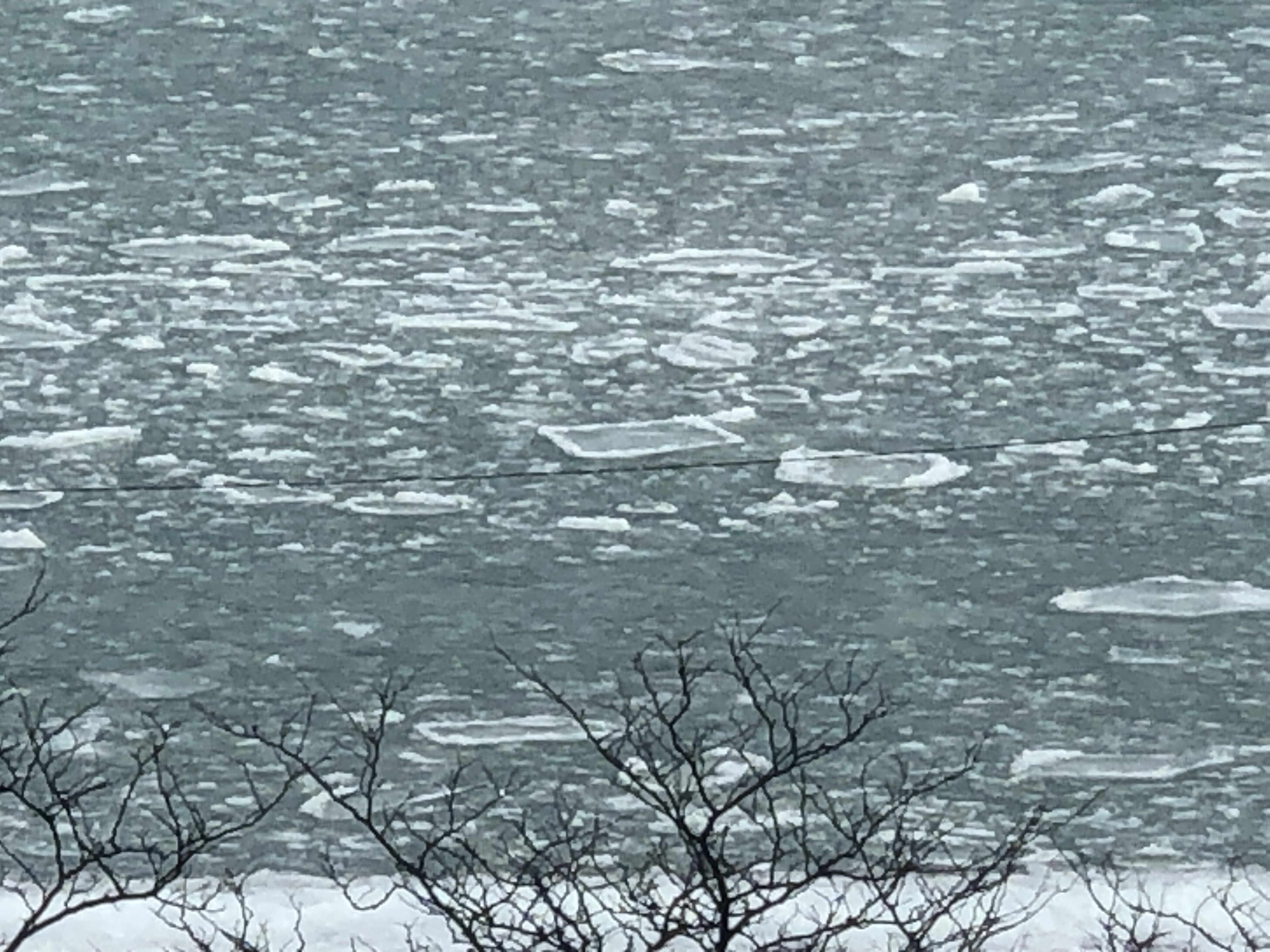
©blogginginitaly.com
Saturday, January 24, 5:35:12 PM, another warning

©Chicago Tribune
Monday, January 25, 9:43:21 AM, a new, long thin ice pattern stretching east and curving northward

©blogginginitaly.com
Monday, January 25, 11:47:52 AM, becoming large patches of ice everywhere

©blogginginitaly.com
A bit of history: On February 2, 2011, 20 inches of snow fell in Chicago, trapping hundreds of people on Lake Shore Drive for hours. (My pictures the day after.)

©blogginginitaly.com
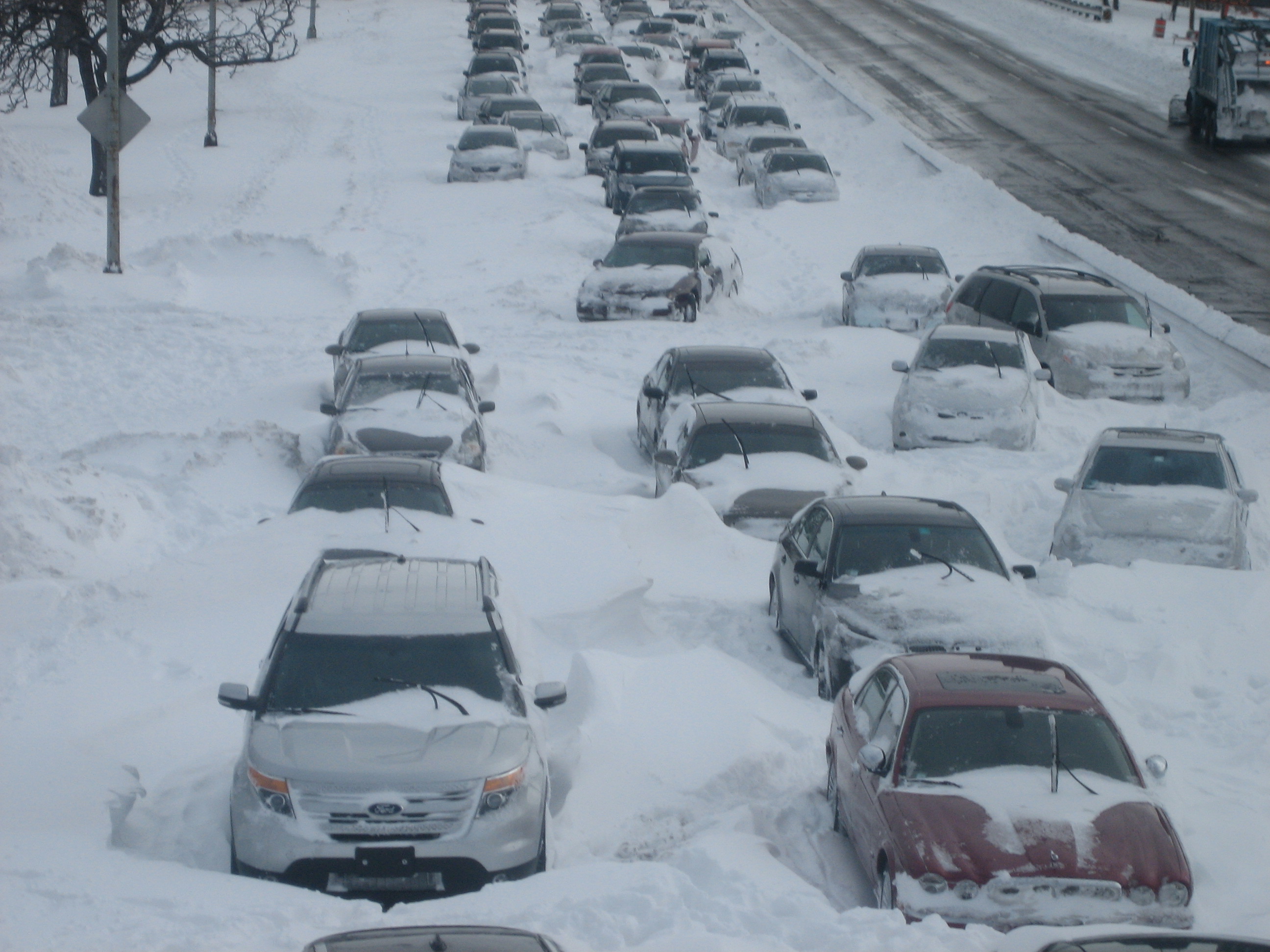
©blogginginitaly.com

©blogginginitaly.com
As a result, “turn around areas” were added to the Drive. This morning, those cement barricades were temporarily replaced with movable barriers, in anticipation of the storm
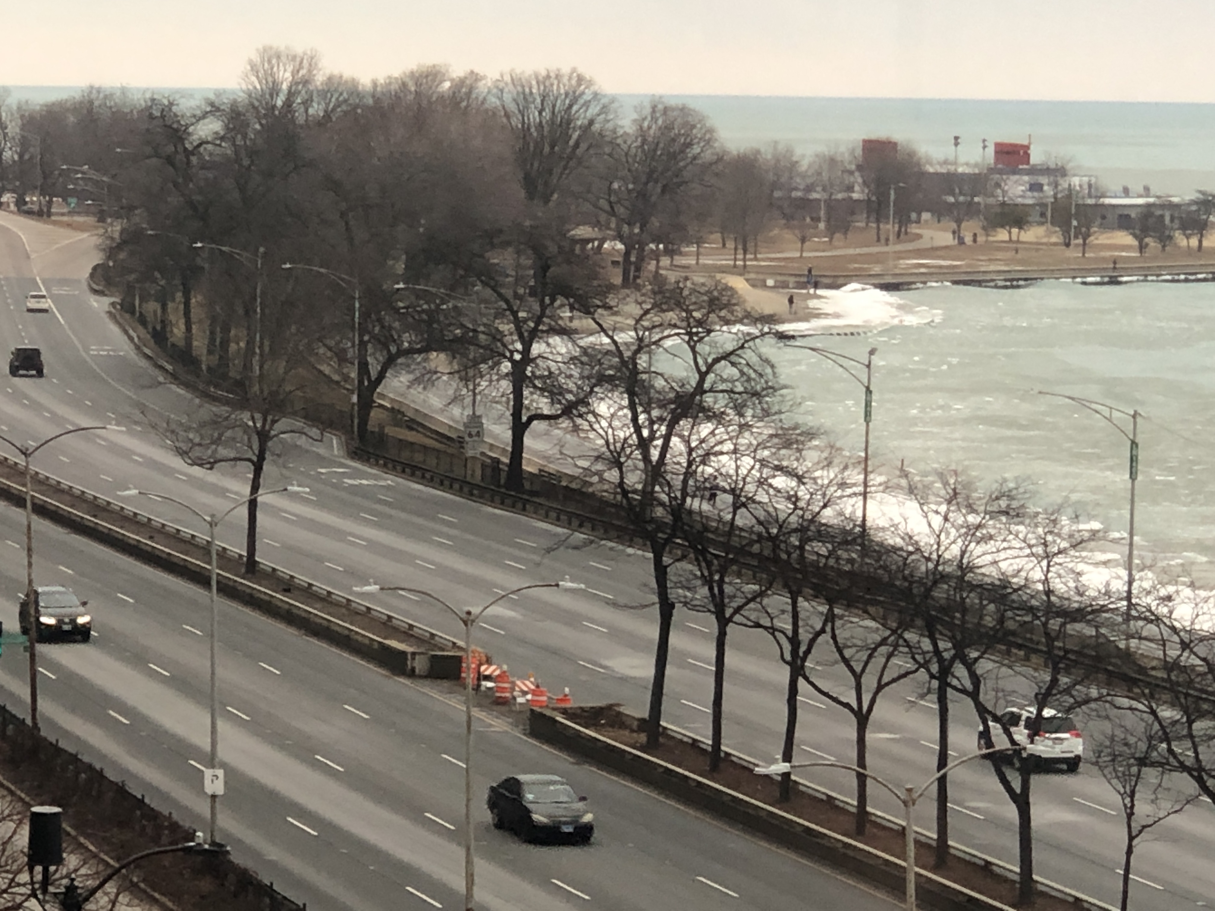
©blogginginitaly.com
Monday, January 25, 11:57:37 am, another warning

©Chicago Tribune
And so we watch- and wait. Till tomorrow…
Ciao,
Judy
